What Is a Tide Table?
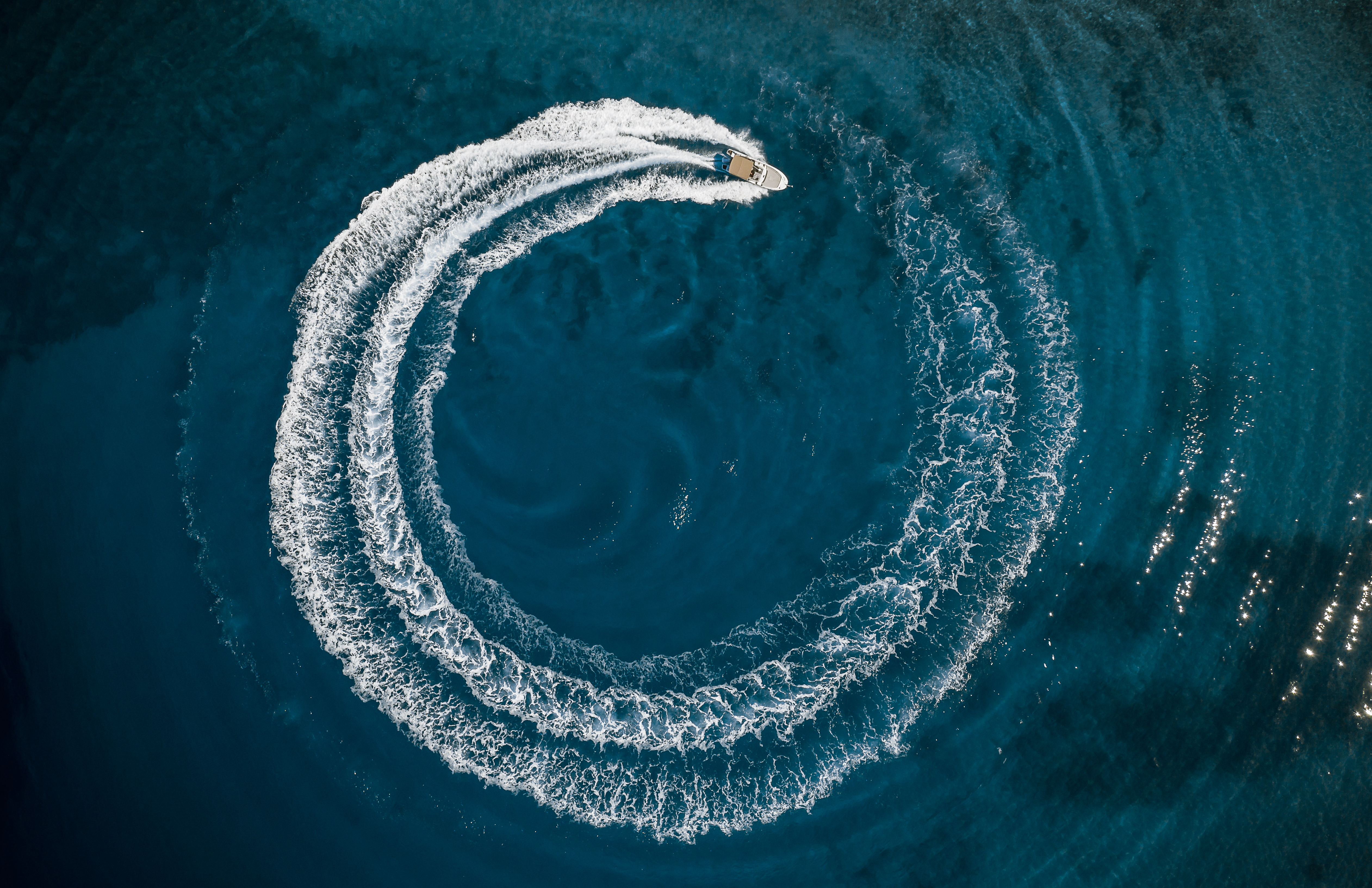
When planning a day at the beach or a boat trip, one thing to monitor is the tide. Understanding tides and current conditions can help you learn if the water is low enough to go beachcombing, for example, or high enough for your boat to go into and out of a particular area without getting stuck on a sandbar.
By using a tide table, you can better understand the rise and fall of sea levels in specific areas, so you have the information you need to head out confidently. These tables are graphs or charts detailing high and low tides, when they occur, and the water level at those times.
They're crucial elements of safety when operating a boat, but they can also help beachgoers, anglers, and scientists.
A Historical Perspective on Tide Tables
The idea of tracking tides dates back to ancient civilizations such as the Babylonians, who tracked the high tides on the Euphrates and used the moon to make predictions. In more recent times, the development of tables that gave tidal details meant big advancements in astronomical and oceanographic knowledge.
In the 18th and 19th centuries, Newton's gravitational theories and other important scientific discoveries helped provide more precise calculations that led to more accurate tables. That, in turn, increased the safety and reliability of navigation and helped anyone navigating a vessel avoid issues like rocky coastlines and shallow waters.
What Factors Influence Tides?
The primary driver of tides is the moon's gravitational pull. The sun also plays a role but is less significant than the moon.
When the moon's gravity pulls on the Earth's oceans, the water "bulges," leading to a higher tide. The moon's and sun's proximity to Earth also affects the tides, leading to neap tides and spring tides.
Local factors, including the shape of the coastline, local wind patterns, and the geography of the seabed, also affect the tides. When taken together, all of those differences can mean considerable modifications in the height and timing of tides, creating a complex experience when viewed on a global scale.
What are the Components of Tidal Tables?
Tide tables typically include several key components to be used efficiently. These include the times and heights of the tides, the tidal coefficients, and the tidal currents.
Each of these aspects is important to understanding the tides.
- Times and heights are the most critical elements of these tables, as they show when the tides will be at their highest and lowest points and the exact measurements of both of those levels.
- Tidal coefficients give an idea of the tidal range and tell you how strong the tide will be.
- Tidal currents offer information on the speed and direction of water movement due to tides. Those are both crucial elements of water safety.
Understanding these elements can help you plan a safe outing on your boat!

The Importance of the Tides for Boaters
Boaters, sailors, and anglers all need to understand the tides. Doing this helps with convenience, but it's also vital for safety.
Accurate tide predictions make it easier to plan navigation routes, especially when navigating narrow channels and shallow waters.
Additionally, changing tides can alter the access to certain areas. You don't want to get trapped somewhere because the tide that let you into the space changed, and now you can't get back out.
Anglers need to know the tide times because it can influence how successful they are at bringing home their catches of teh day. The behaviors of many fish are linked to tidal movements.
Use Online Resources and Apps for Tidal Information
Numerous websites and mobile apps make accessing tidal information, including tables, easier than ever. These give up-to-date information with just a few clicks and are readily accessible to anyone with a smartphone or internet connection.
They often include interactive maps, GPS coordinates, and weather forecasts.
Tips for Using and Reading Tide Tables
When you need to read these tables efficiently, the first thing to do is understand local variations. You'll want to consider local environmental factors that might affect the tide times and tidal heights.
Also, make sure to plan according to tidal cycles. Whether you're heading to the beach for the day or out on the boat for the evening, you should consider adjusting some of your activities to take full advantage of the water conditions.
By learning to read the charts and graphs correctly, you can make informed decisions based on the tidal information provided.
Include Boating Safety in Your Tide Table Adventure Planning
Understanding and using tidal information is crucial for increasing your safety on and around the water. In addition, you should also take a boating safety course to prepare you for almost any situation on the water.
BOATERexam boating safety courses cover navigation, emergencies, environmental compliance, and other essential skills for protecting yourself and having a great day exploring the water. So, learn how to use a tide table and make sure you're safety certified for more enjoyment on the water with your boat!
In the U.S., find the BOATERexam course for your state. If you boat in Canada, choose the Canada-approved course and start learning! All courses are online-only and meet official requirements for boater safety education.